Custom GIS systems and spatial data management solutions.

Accurate mapping, data capture and spatial data processing.

Web, desktop, and mobile application development tailored to your needs.

Advanced spatial analysis and visualization for data-driven decision making.

High-resolution imagery and geospatial insights from the air.
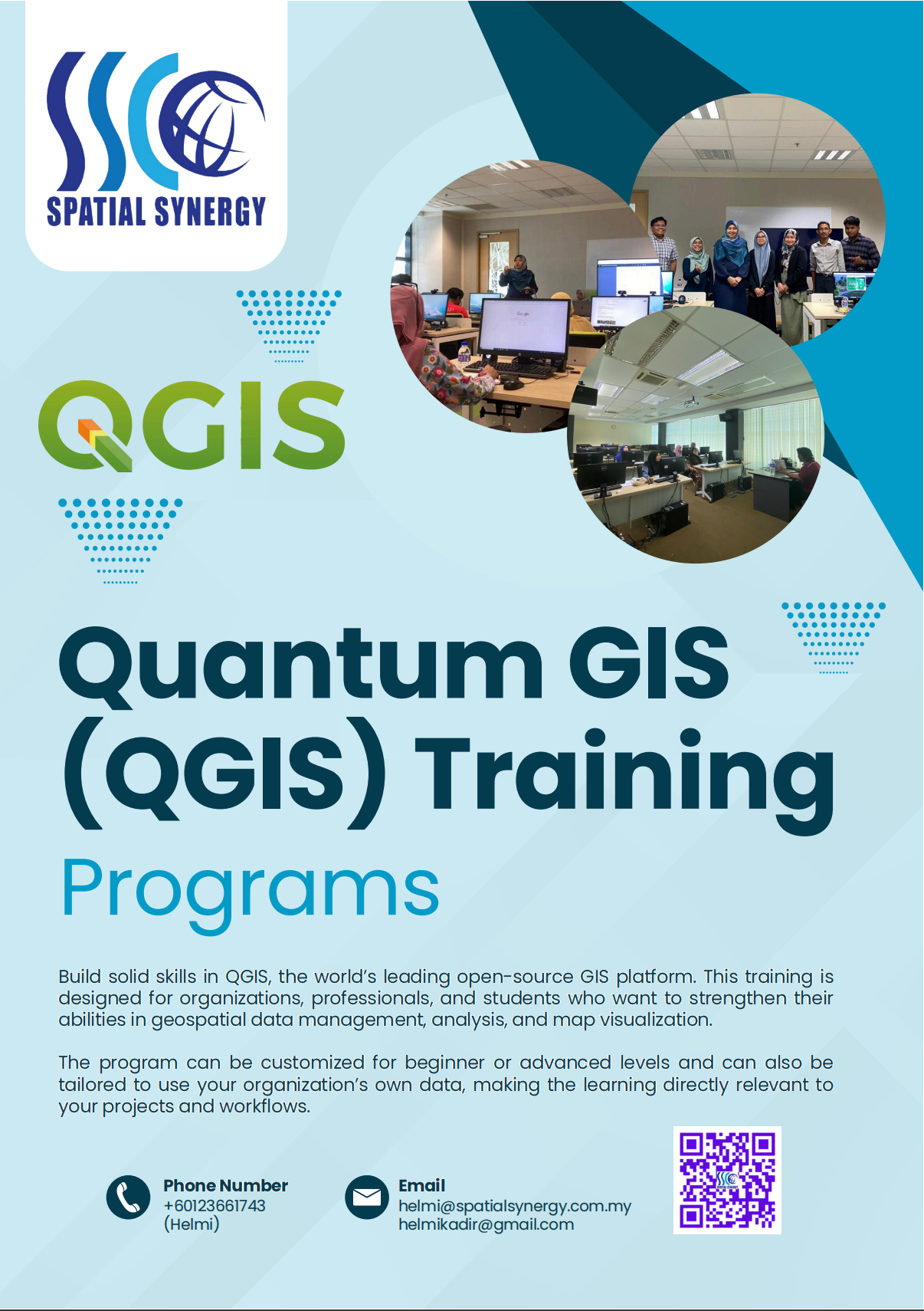
This QGIS Training Course is designed to equip participants with comprehensive knowledge and practical, hands-on experience in using Quantum GIS (QGIS) a leading open-source Geographic Information System (GIS) platform. The course covers the core principles of spatial data management, map creation, geospatial analysis, and data visualization using QGIS tools and plugins. Open to participants from various sectors, including government agencies, urban planning, environmental management, infrastructure development, and research, this training emphasizes the practical application of GIS in real-world projects. Participants will learn to integrate multiple data sources, perform spatial queries, and create professional-quality maps that support planning, analysis, and decision-making processes.By the end of the course, participants will be able to use QGIS confidently in their daily work, enhancing the efficiency, accuracy, and spatial intelligence of organizational operations.
To equip participants with the knowledge and practical skills to effectively utilize QGIS as a powerful Geographic Information System (GIS) tool for spatial data analysis, mapping, and geospatial decision-making. The training aims to strengthen participants’ ability to manage, analyze, and visualize spatial data to support planning, maintenance, and operational activities across various sectors, leveraging the flexibility and accessibility of open-source GIS solutions.